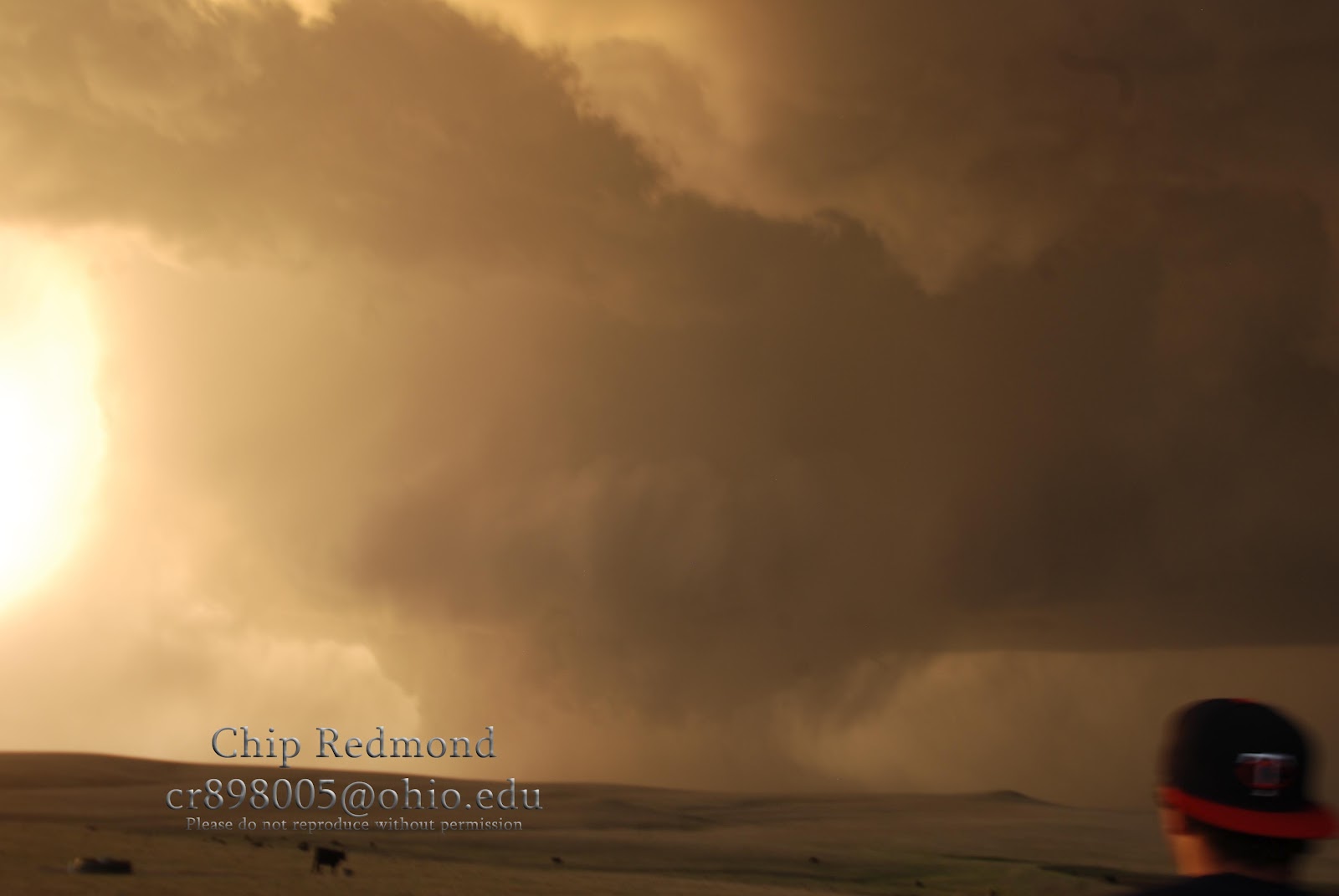
To sum it up in one word... "wow". We started out near Chadron, NE and waited for storms to do something. We gave up and started to drift NW back into SD to watch a storm that was on the WY/SD border. We had no data after leaving Chadron and chased purely off what we could see. We watched the base for over an hour, of which I did a time lapse. The better shear arrived and the storm went nuts. It dropped at least three tornadoes, a cone, then a needle, and eventually a big wedge. We only saw one other chase out there which made it even cooler, we were the only people out there witnessing this awesome power of Mother Nature. I won't say much on the images, they are pretty self-explanatory. Enjoy and share!(Note: my camera's sensor is super dirty, my apologies)
Moon visible just below the anvil with High Park Fire in CO's smoke along the horizon.
What a day! This goes down as probably one of my favorite chase days of all time. Thanks for checking it out! Visit back often as I update with other photos besides just tornadoes!
Chip
We chased eastern SD and western MN on Sunday. We ended up in Ortonville, MN minutes before what we thought was a routine bow echo/squall line. It ingested a large region of warm moist air and hit a pocket of high helicity just before it reached us and took on supercellular characteristics. We ended up getting hit by the mesocyclone's ground circulation and narrowly got missed by the tornado. Looking back at the images we could clearly see a tornado on the ground. Here is a sequential walk through our day...
Storms initiating in NE SD
Storm's cold pools organizing into a MCS
Shelf cloud emerging at the base
Gorgeous structure
Bow echo had a clear bookend vorticy to the north
Meso moving into Ortonville
Tornado visible at the base of the storm. Debris cloud left of the light pole, funnel to the right
Cropped version of above photo
Tornado moving farther to the east/south and stacked plates above it
Cropped version of the above photo showing the tornado with funnel a bit more visible to the right of the pole
Amazing structure and a huge hail core
Greenness! And the gas station we took cover at
Next storm just east of Watertown, SD. Clear base with a wall cloud and rainbow
Storm beginning to fall apart
Pretty sunset looking the opposite way
Zoomed in version
Storm is still trying
Very pretty backside of the cumulonimbus
And thus, ended our day. Kind of a disappointment because we were really hoping for some isolated supercells. Everything developed to fast and the cap gave way to a massive amount of "crap"-vection that helped the storms go linear quickly. We happened to get very lucky by being at the right place at the right time and were able to bag that tornado. It is good to finally get the first tornado of 2012 though!